|
Palisade Canyon, Nevada
|
|
Palisade Canyon, Nevada
|
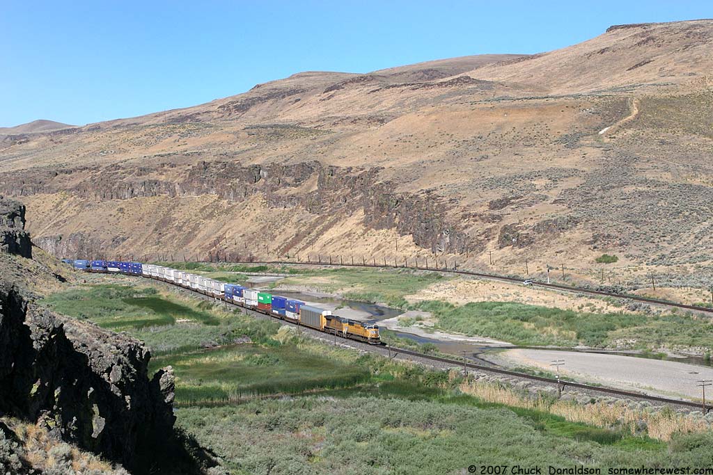
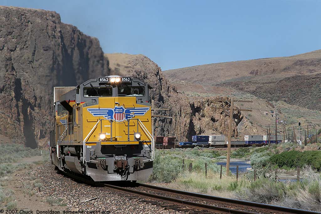
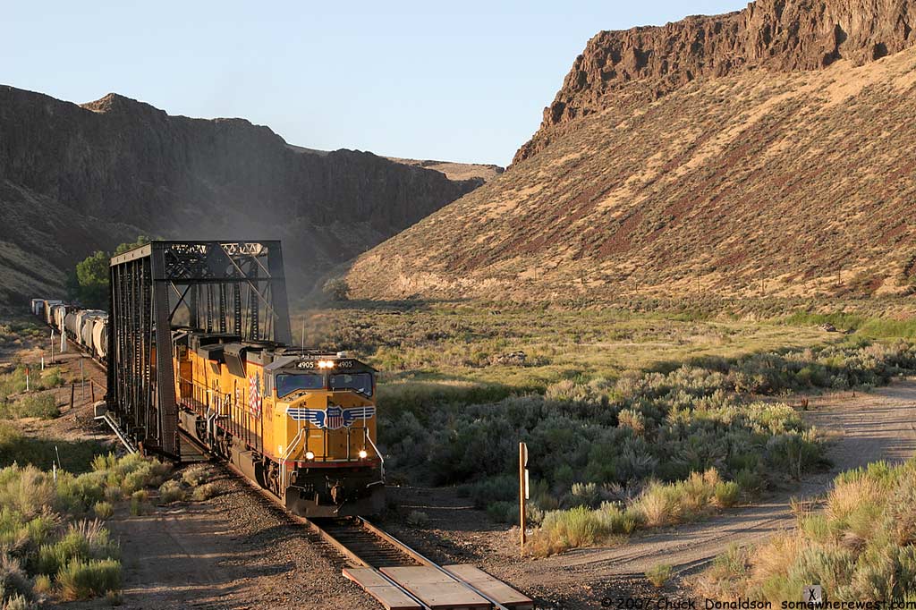
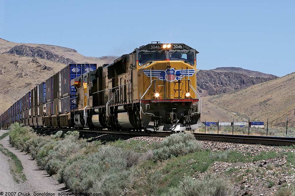
| Located just East of Carlin,
Nevada is Palisade Canyon. The canyon is formed by the Humboldt River
and occupied by two tracks, currently operated by Union Pacific Railroad.
The first track was constructed by the Central Pacific during its race east
to meet the Union Pacific. Late arriving Western Pacific built through
the canyon, swapping sides with the Southern Pacific (formerly Central
Pacific) just east of Barth near the middle of the canyon.
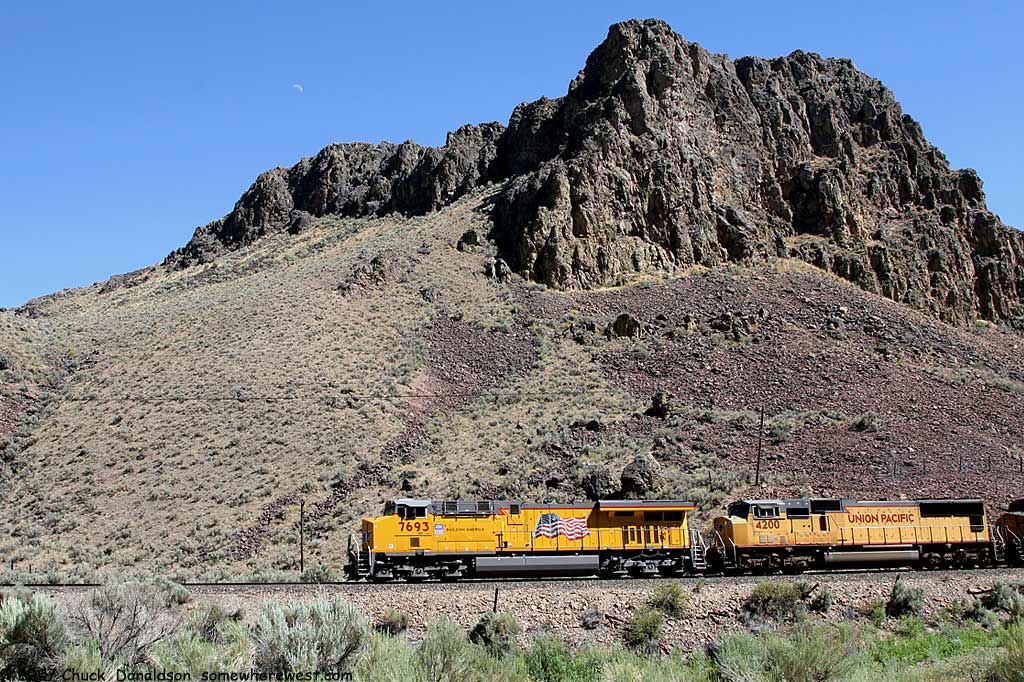
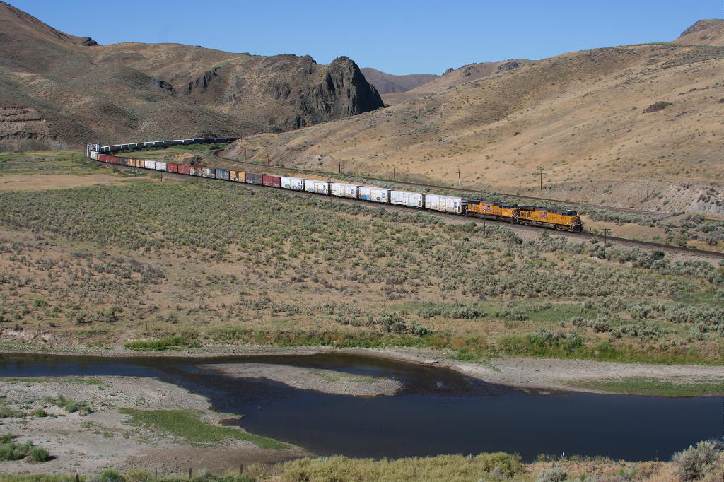
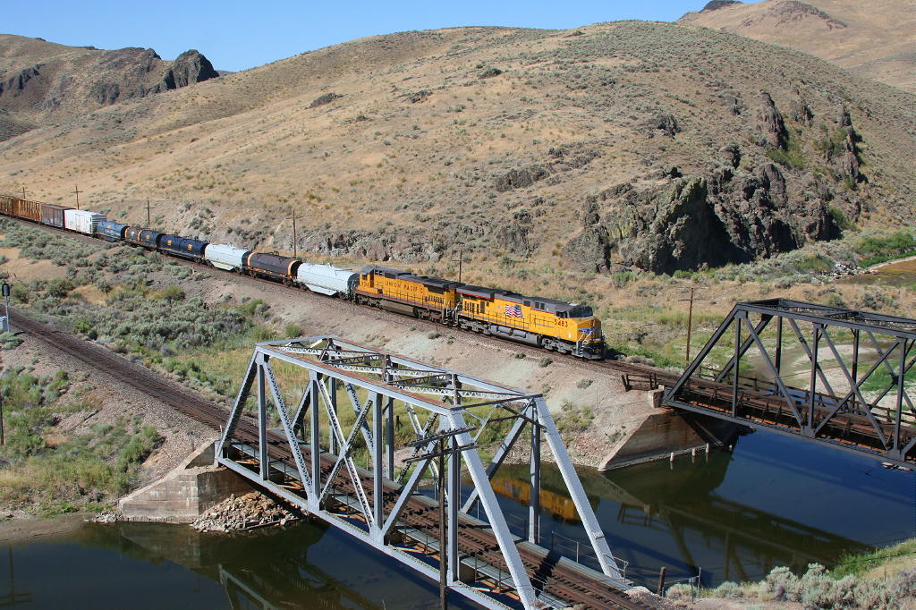
Between Weso, just east of Winnemucca, and Alazon, just west of Wells, the SP and WP operated joint trackage. The segment essentially functioned as double track with eastbound trains of both companies normally using WP rails and westbound using the SP line In mid July, I made my first visit to the canyon. In the company of Jim Winker, I captured at least a sample of what the dedicated photographer might be able to shoot with enough time and patience. Three days is way too short a time to really explore, not to mention photograph an area. The shots below are just a sample of what we saw in our three day visit. |
 |
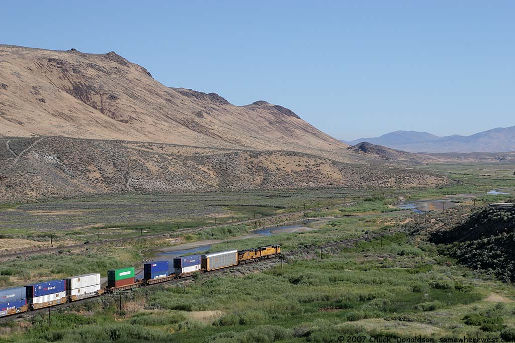
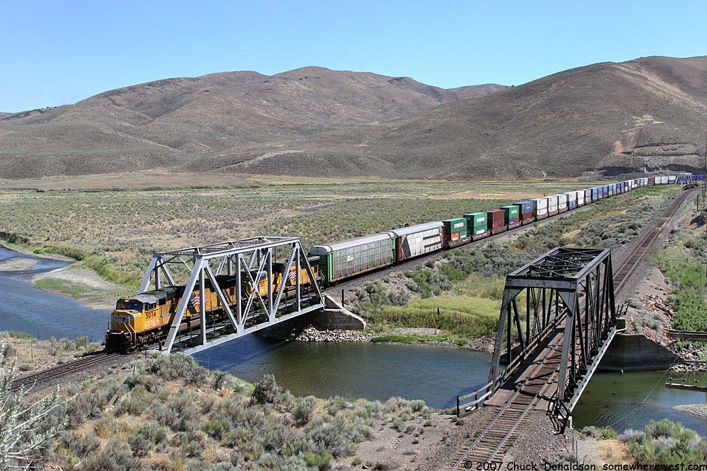
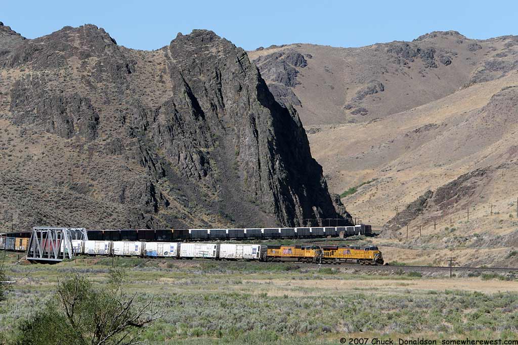
The paired trackage exits the east end of Palisade canyon and enters the valley where Carlin, Nevada is found. |
 |
|
 |
 |
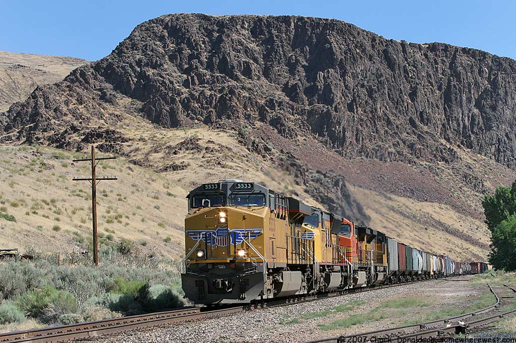
The easiest part of the canyon to visit is the area around the old town of Palisade. This was the northern terminus of the Eureka and Palisade RR, a narrow gauge short line. At one time a town and terminal existed at this location |
 |
 |
The tracks exit the Palisade area through two tunnels. These pictures are from above the west entrance to the tunnels. The picture on the far right is from above the east entrance. |
 |
 |
 |
 Jim Winkler Photo |
 Jim Winkler Photo |
|
 |
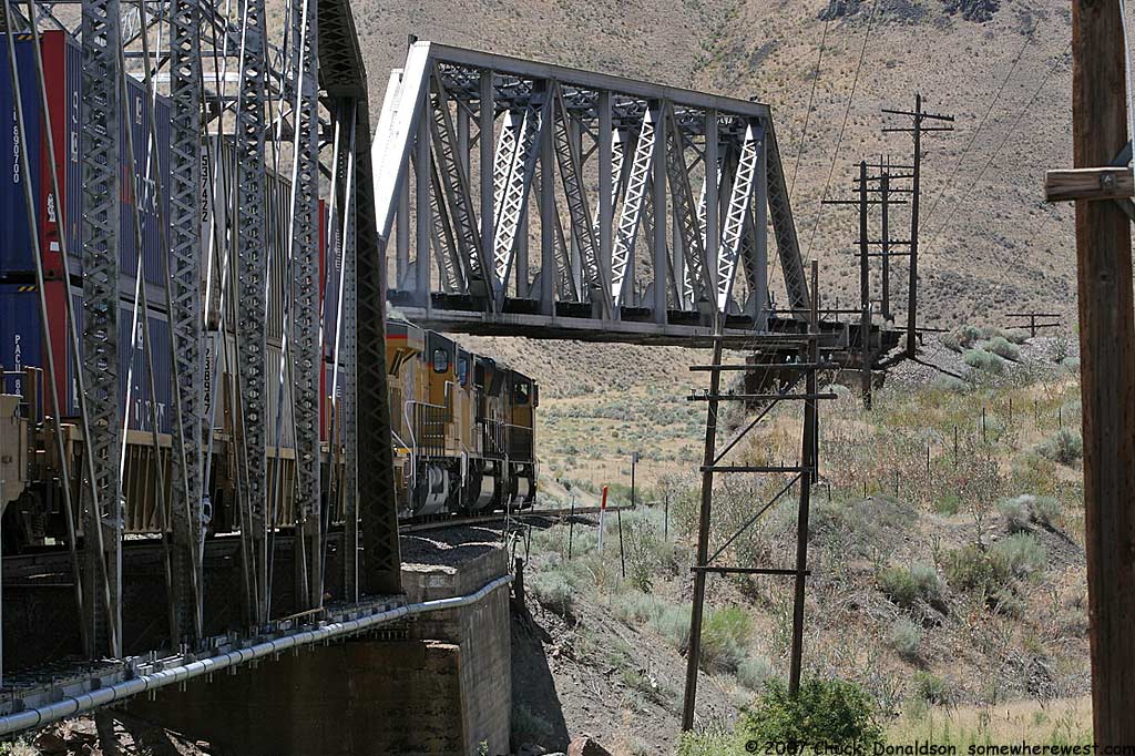 |
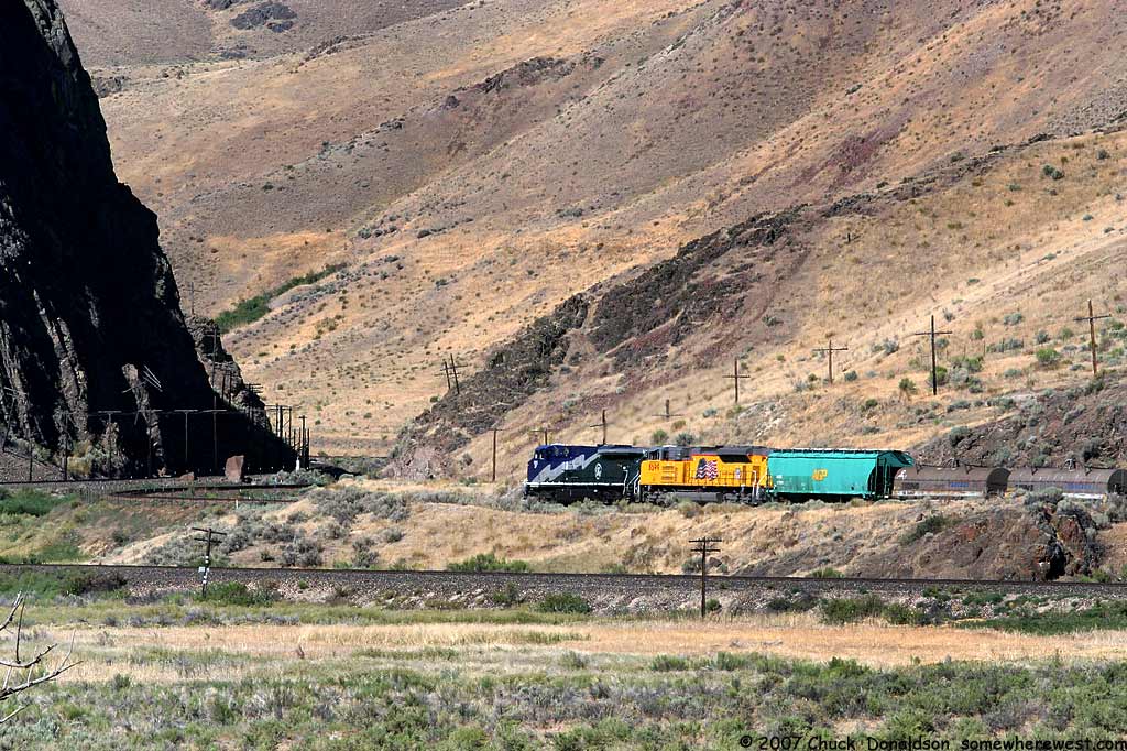
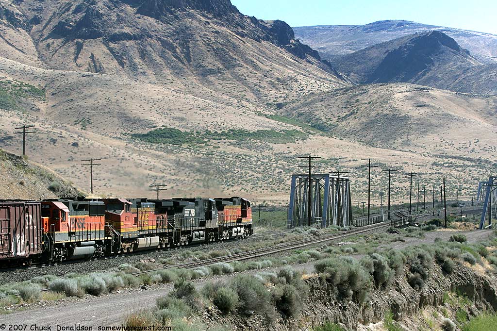
Further west in the canyon, the Western Pacific line crossed the Southern Pacific line and continued west on the north side of the canyon. |
 Jim Winkler Photo |
 Jim Winkler Photo |
|||
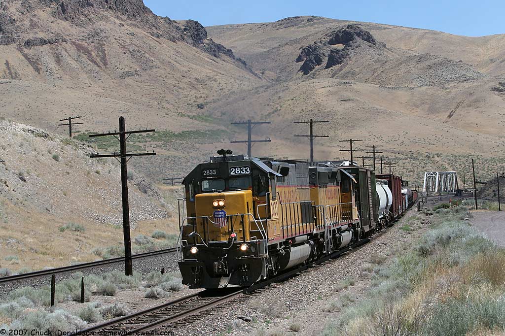 |
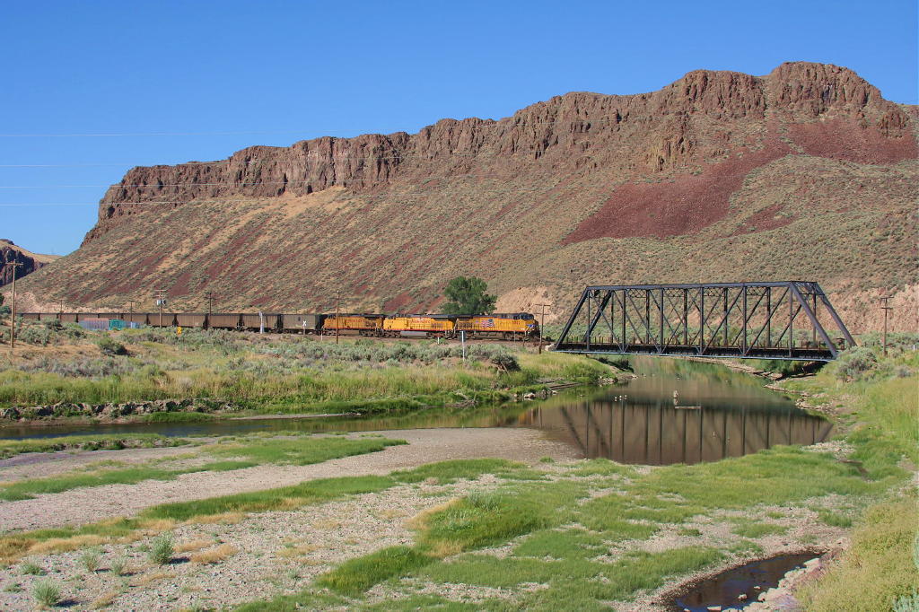
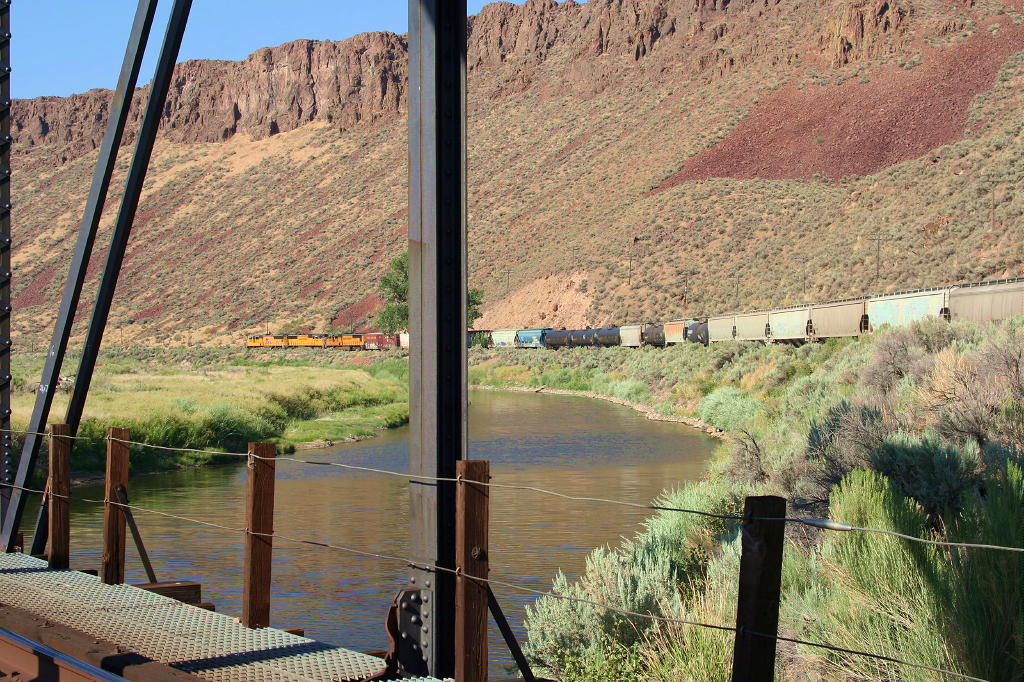
West of the flyover, Barth is the location of
several bridges and a mine.
|
 |
|